
UPDATE: Hurricane Watch has been canceled for coastal #SRQCounty.
Tropical Storm Warning remains in effect. #IDALIA
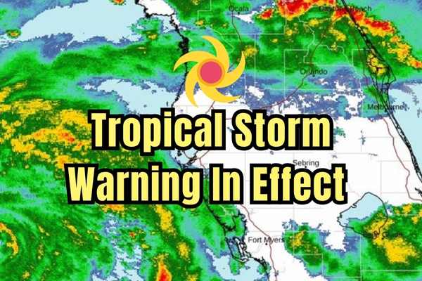
Tropical Storm Warning
Idalia Local Watch/Warning Statement/Advisory Number 13
National Weather Service Tampa Bay Area – Ruskin FL AL102023
502 PM EDT Tue Aug 29 2023
…TROPICAL STORM WARNING REMAINS IN EFFECT…
…STORM SURGE WATCH REMAINS IN EFFECT…
* LOCATIONS AFFECTED
– Port Charlotte
– Punta Gorda
– Charlotte harbor
* WIND
– LATEST LOCAL FORECAST: Below tropical storm force wind
– Peak Wind Forecast: 25-35 mph with gusts to 55 mph
– THREAT TO LIFE AND PROPERTY THAT INCLUDES TYPICAL FORECAST
UNCERTAINTY IN TRACK, SIZE AND INTENSITY: Potential for wind 39
to 57 mph
– The wind threat has remained nearly steady from the
previous assessment.
– PLAN: Plan for hazardous wind of equivalent tropical storm
force.
– PREPARE: Remaining efforts to protect property should be
completed as soon as possible. Prepare for limited wind
damage.
– ACT: Move to safe shelter before the wind becomes hazardous.
– POTENTIAL IMPACTS: Limited
– Damage to porches, awnings, carports, sheds, and unanchored
mobile homes. Unsecured lightweight objects blown about.
– Many large tree limbs broken off. A few trees snapped or
uprooted, but with greater numbers in places where trees
are shallow rooted. Some fences and roadway signs blown
over.
– A few roads impassable from debris, particularly within
urban or heavily wooded places. Hazardous driving
conditions on bridges and other elevated roadways.
– Scattered power and communications outages.
* STORM SURGE
– LATEST LOCAL FORECAST: Life-threatening storm surge possible
– Peak Storm Surge Inundation: The potential for 2-4 feet
above ground somewhere within surge prone areas
– Window of concern: through Thursday morning
– THREAT TO LIFE AND PROPERTY THAT INCLUDES TYPICAL FORECAST
UNCERTAINTY IN TRACK, SIZE AND INTENSITY: Potential for storm
surge flooding greater than 3 feet above ground
– The storm surge threat has remained nearly steady from the
previous assessment.
– PLAN: Shelter against life-threatening storm surge of
greater than 3 feet above ground.
– PREPARE: Flood preparations and ordered evacuations should
be complete. Evacuees should be in shelters well away from
storm surge flooding.
– ACT: Remain sheltered in a safe location. Do not venture
outside.
– POTENTIAL IMPACTS: Unfolding
– Potential impacts from the main surge event are unfolding.
* FLOODING RAIN
– LATEST LOCAL FORECAST:
– Peak Rainfall Amounts: Additional 2-4 inches, with locally
higher amounts
– THREAT TO LIFE AND PROPERTY THAT INCLUDES TYPICAL FORECAST
UNCERTAINTY IN TRACK, SIZE AND INTENSITY: Potential for
moderate flooding rain
– The flooding rain threat has remained nearly steady from
the previous assessment.
– PLAN: Emergency plans should include the potential for
moderate flooding from heavy rain. Evacuations and rescues
are possible.
– PREPARE: Consider protective actions if you are in an area
vulnerable to flooding.
– ACT: Heed any flood watches and warnings. Failure to take
action may result in serious injury or loss of life.
– POTENTIAL IMPACTS: Significant
– Moderate rainfall flooding may prompt several evacuations
and rescues.
– Rivers and tributaries may quickly become swollen with
swifter currents and overspill their banks in a few places,
especially in usually vulnerable spots. Small streams,
creeks, canals, and ditches overflow.
– Flood waters can enter some structures or weaken
foundations. Several places may experience expanded areas
of rapid inundation at underpasses, low-lying spots, and
poor drainage areas. Some streets and parking lots take on
moving water as storm drains and retention ponds overflow.
Driving conditions become hazardous. Some road and bridge
closures.
* TORNADO
– LATEST LOCAL FORECAST:
– Situation is favorable for tornadoes
– THREAT TO LIFE AND PROPERTY THAT INCLUDES TYPICAL FORECAST
UNCERTAINTY IN TRACK, SIZE AND INTENSITY: Potential for several
tornadoes
– The tornado threat has increased from the previous
assessment.
– PLAN: Emergency plans should include the potential for
several tornadoes with a few possibly intense having larger
damage paths.
– PREPARE: Those living in manufactured homes or on boats are
urged to relocate to safe shelter before hazardous weather
arrives.
– ACT: Listen for tornado watches and warnings. If a tornado
warning is issued, be ready to shelter quickly.
– POTENTIAL IMPACTS: Significant
– The occurrence of scattered tornadoes can hinder the
execution of emergency plans during tropical events.
– Several places may experience tornado damage with a few
spots of considerable damage, power loss, and
communications failures.
– Locations could realize roofs torn off frame houses, mobile
homes demolished, boxcars overturned, large trees snapped
or uprooted, vehicles tumbled, and boats tossed about.
Dangerous projectiles can add to the toll.
* FOR MORE INFORMATION: